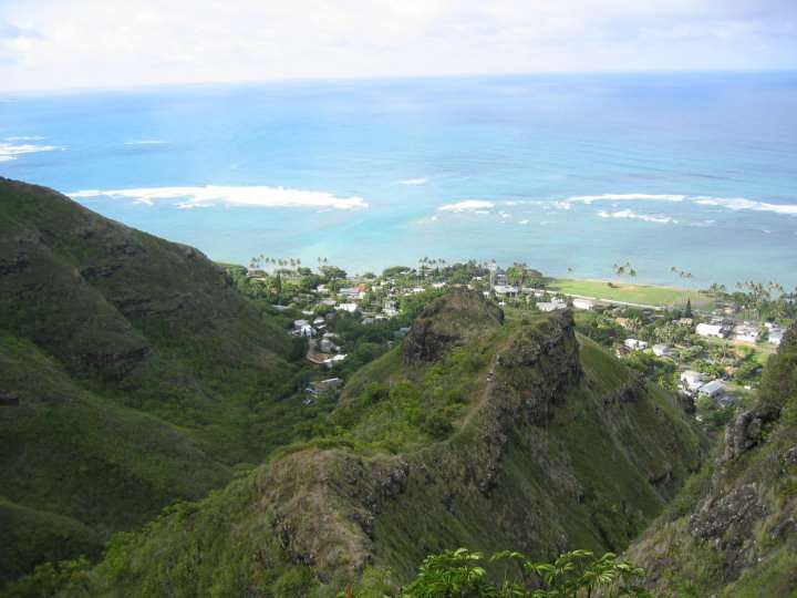
The trail climbs up and along this ridge - all the way up. The next two photo are of people on the lower portion of the ridge trail.
Looking down at the lower portion of the trail. You can barely see Jonathan & Linzy coming up.
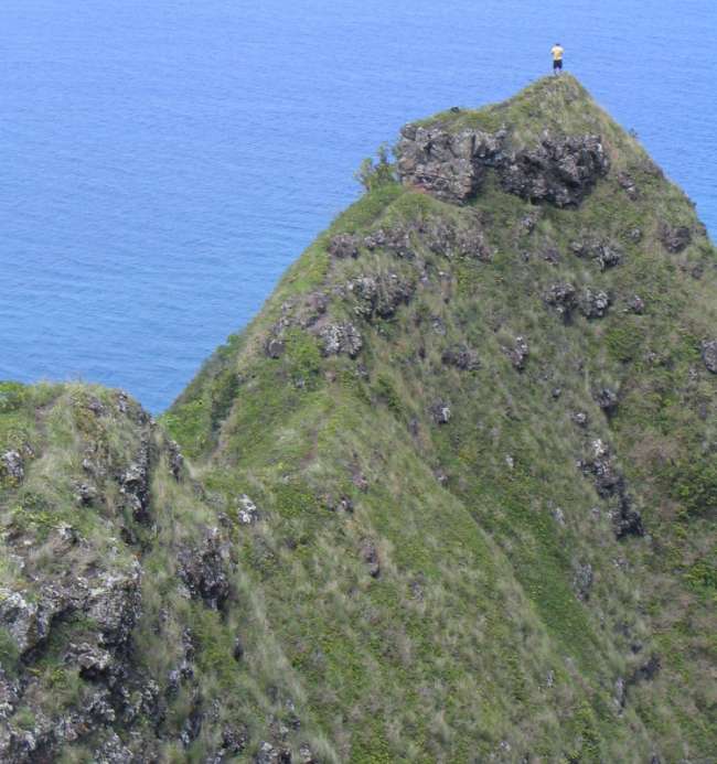
Upper potion of the ridge. The trail drops off the first ridge top at the last saddle (center of the photo) and continues up the one to the right.
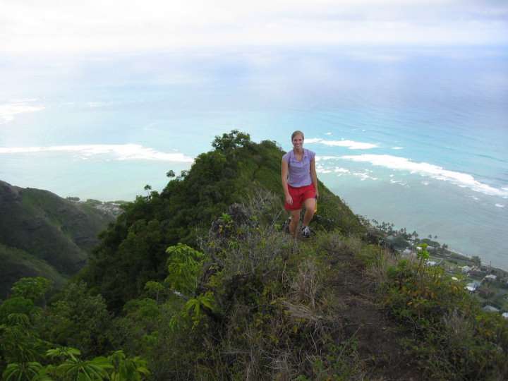
Becca on the higher portion of the ridge trail.
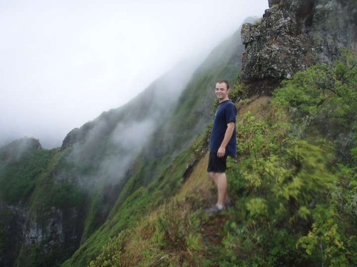
Asa on the trail at the ridge top before it cuts into and alongside the ridge and down toward the water outlet.
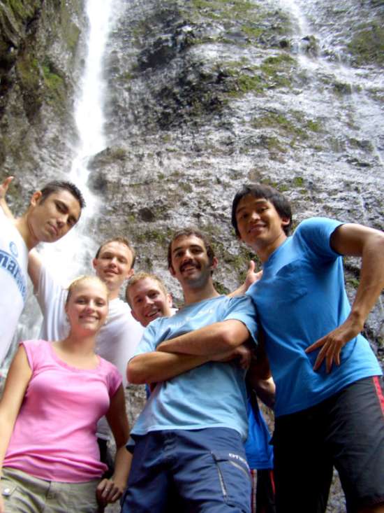
Waterflow at the top of the stream where the trail of the two ridge tops meet. (Jason, Becka, Jenn pictured)
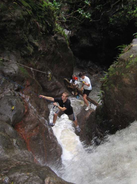
Jonathan descending the top portion of the waterfall.
Asa descending over the 2nd portion of the waterflow. The drop was longer than our rope (300 feet) so we ascended back up and out.
After the stream the trail continues to ascend up the second ridge to about 2000 feet elevation.
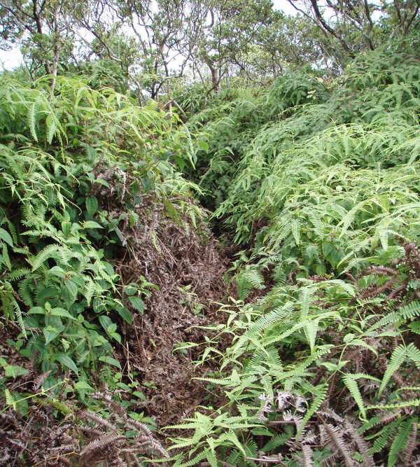
Trail overgrowth while ascending up after the waterflow. As of summer of 2006 it has been cut and easy enough to follow without too much difficulty.
At about 2000 feet elevation there's an intersection where an old trail goes further into the Ko'olau range (away from the ocean). We continued along the main trail toward the ocean and Crouching Lion Restaurant.
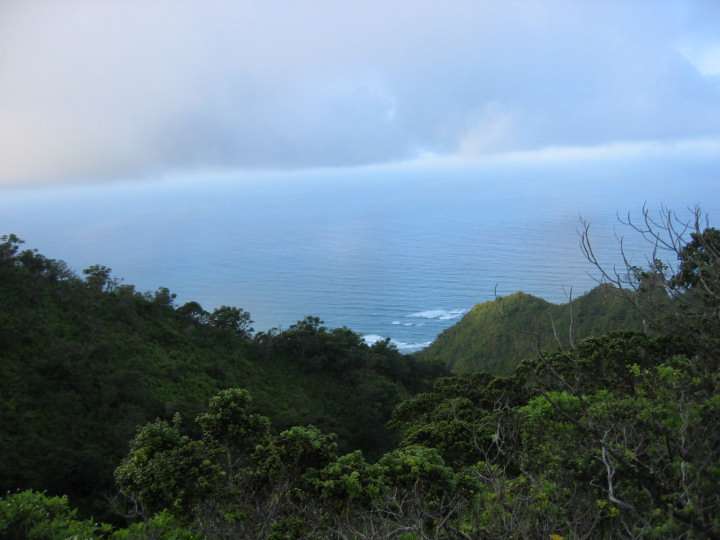
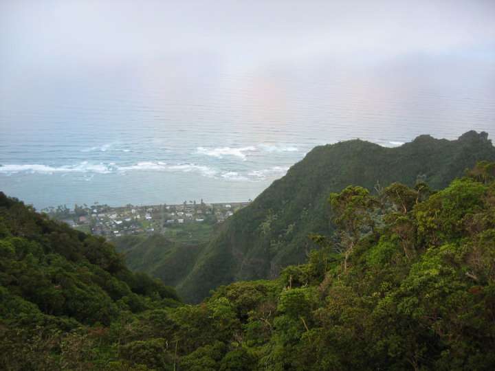
As we descend the trail toward the ocean Kahana Valley can easily be seen to the left.
Tailee and Rachel heading down the trail on the descending portion of the trail.
Sarah Mcmains coming across a steep portion of the trail.
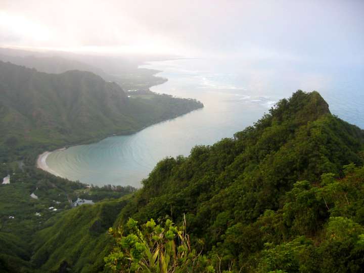
The trail continues gradually descend over a series of steep saddles. (Merlin overlooking the trail down.)
The end of the trail as it descends down to Kam Hwy on the left or Crouching Lion Restaurant on the right.
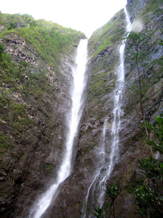
View from the bottom of Crouchin Lion waterfall
Waterfall at the bottom of the crouching lion ridge hike
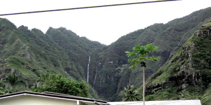
View of Waterfall from Kam Hwy
Click here for details and directions to this activity.
Click here for blog comments on this activity
(3 entries).